
California Travel
California Highway 1 Road Trip: The Coastal Stops Worth Slowing Down For
On Highway 1, the best part of the drive is finding one more reason to pull over.

Coastal road trip
One more reason to pull over.
There are road trips where the drive gets you to the good part. *California's Highway 1 is one where the drive is the good part.
One minute you're rounding a cliff with the Pacific stretched out below. The next, you're grabbing coffee in a little beach town and deciding that the stop you planned for 15 minutes deserves the whole afternoon.
This guide follows a San Francisco-to-Los Angeles trip. Coming from LA or Orange County? Reverse it. You don't have to see every stop to get the Highway 1 experience—in fact, you'll probably enjoy it more if you don't try.
The quick plan: Allow 4 days / 3 nights for a comfortable first trip, or 5 days / 4 nights if you want hiking and unhurried mornings. September and October are often lovely along the Central Coast; April and May bring green hills and some wildflowers. Always check Big Sur road, fire, and park updates before you lock in the route.
When should you go?
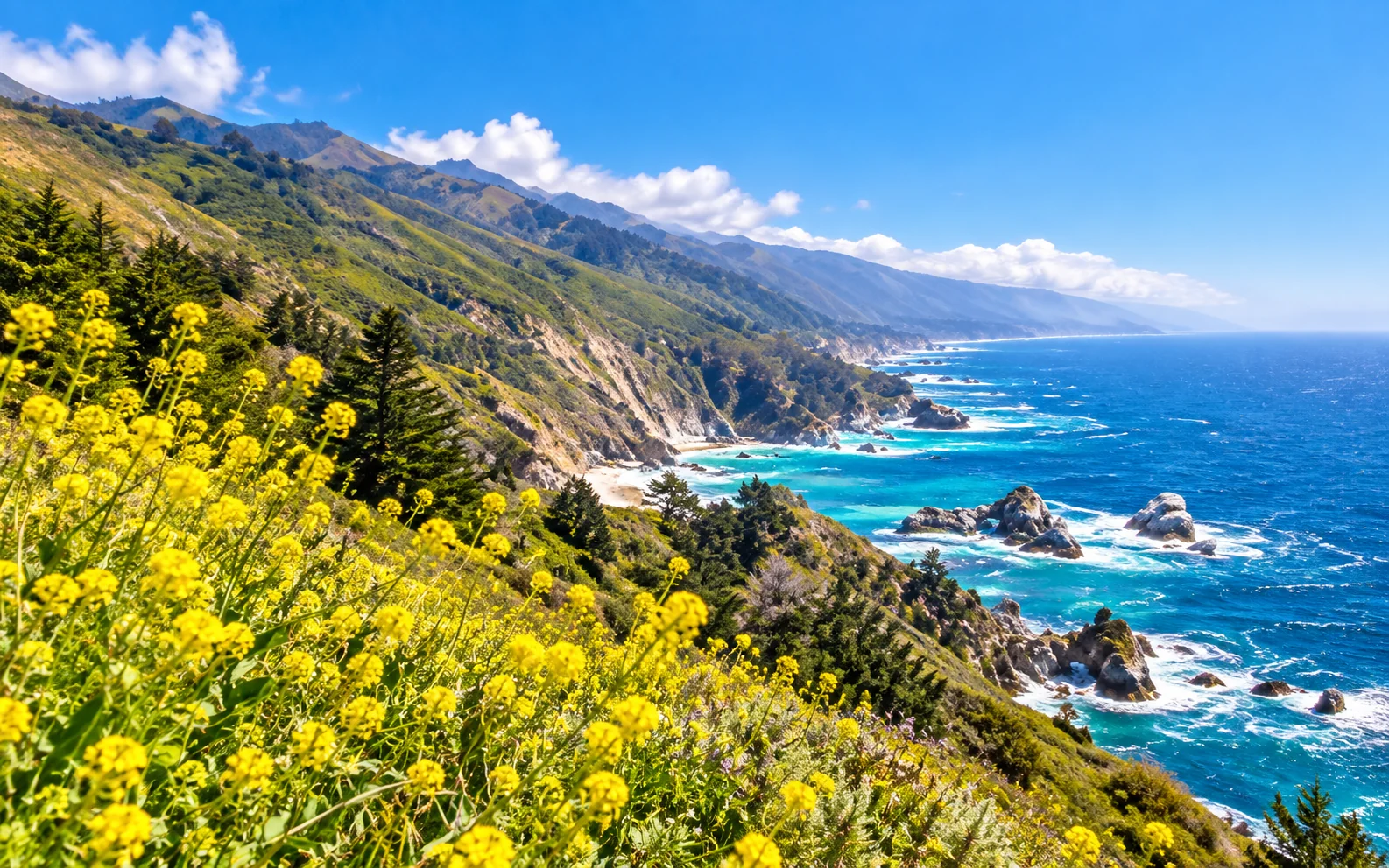
There isn't one perfect month. The coast changes character throughout the year, which is part of the fun.
| Season | What to expect | Our take |
|---|---|---|
| Spring: March–May | Greener hills, some wildflowers, shifting weather | Great for walks and fresh coastal scenery |
| Summer: June–August | Long days, but morning fog and packed viewpoints are common | Good for longer days outdoors—start early |
| Early fall: September–October | Often pleasant coastal weather and beautiful afternoon light; wildfire conditions still matter | An appealing window for a first trip |
| Winter: November–February | Fewer crowds at times, dramatic surf, more storm and landslide risk | Go only if your plans are flexible |
If we were choosing dates for a first coastal drive, we'd look at early fall or spring. Just don't count on cloudless skies every day. Coastal fog can change what you see from one bend to the next, and fire-related restrictions in September 2026 make checking current conditions especially important.
The route, without turning every day into a marathon
The north-to-south version looks like this:
San Francisco → Half Moon Bay / Santa Cruz → Monterey → Carmel → Big Sur → San Simeon / Cambria → Morro Bay / San Luis Obispo → Santa Barbara → Malibu → Los Angeles
A small but useful distinction: this is a coast-focused itinerary, not a promise that every mile will be on Highway 1. Some connections work better on US-101, and if Big Sur has a closure, US-101 may be your practical alternative.
Driving south generally puts many ocean views and roadside pullouts on your right. That makes the drive scenic; it does not make sudden stops or unsafe turns okay.
01 | Half Moon Bay & Santa Cruz: Ease into coastal mode
Don't feel you have to race from San Francisco straight to Big Sur.
Half Moon Bay is a good breakfast-and-beach stop. Santa Cruz has a livelier boardwalk and surf-town energy. With a shorter itinerary, pick one. With five days, you have room for both.
Plan for roughly half a day together, then spend your first night around Monterey. It's a much more relaxed start than pushing into winding coastal roads late in the day.
02 | Monterey & Carmel: Two coastal moods, one easy stop
At Monterey's Cannery Row, stroll the waterfront or settle in for a meal. If the Monterey Bay Aquarium is on your list, book through its official site and give it a few hours. It's not a quick photo stop.
A short drive away, Carmel-by-the-Sea trades the bustle for little lanes, galleries, cafés, and a beach that makes you want to stay until sunset. Even on a sunny day, bring a layer—the wind likes to surprise people.
Optional detour: 17-Mile Drive
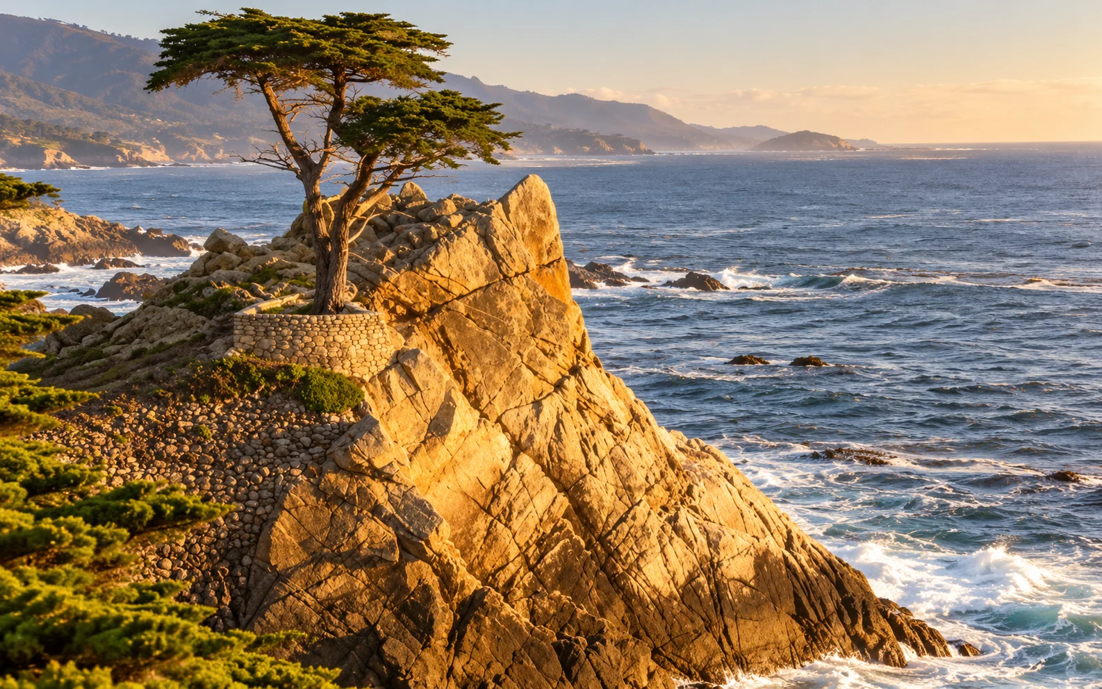
17-Mile Drive in Pebble Beach is a separate, paid scenic road, not a free stretch of Highway 1. You'll find rocky coastline, oceanfront golf courses, and the famous Lone Cypress.
Give it 1–2 hours if coastal photography is your thing. If you're short on time, it's perfectly reasonable to spend longer in Carmel or Point Lobos instead. Check Pebble Beach's official site for the current admission fee and gate hours.
03 | Point Lobos: Big coastal views, very little hiking required
Just south of Carmel, Point Lobos State Natural Reserve is a wonderful place to get out of the car. Cypress trees bend toward the sea, coves glow blue-green, and you might spot marine life offshore. Watch from a distance and never approach wildlife.
For an easy walk, try Cypress Grove Trail, an approximately 0.8-mile loop. Set aside 1.5–2.5 hours for the reserve if you enjoy stopping for views. Parking fills, so getting there early helps. Pets are not allowed in the reserve, apart from applicable service-animal exceptions.
04 | Bixby Creek Bridge: Yes, this is *that* bridge
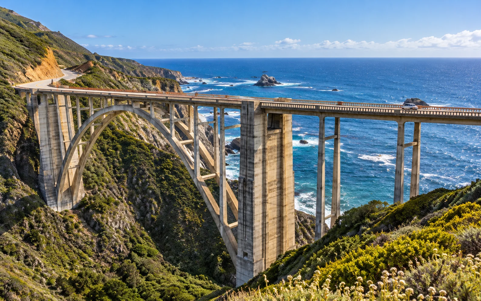
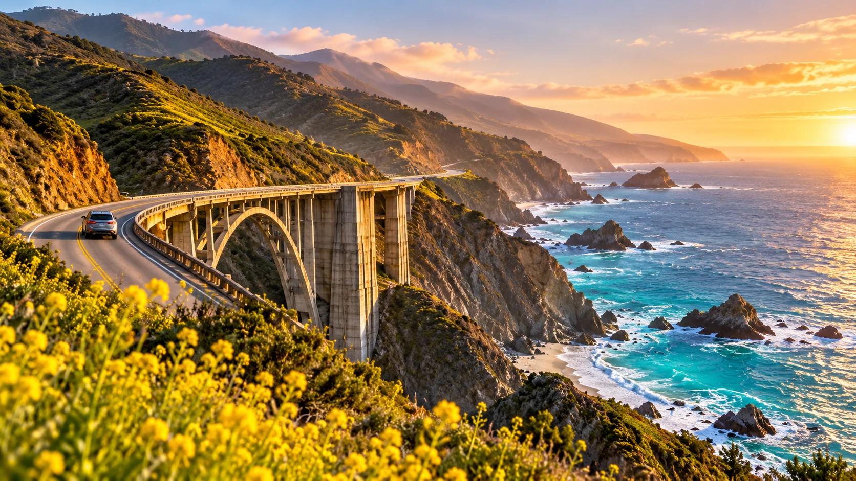
That graceful arch spanning a canyon above the Pacific? Bixby Creek Bridge. It's one of those places that looks familiar from a hundred photos but still makes you say, “Oh, wow.”
The view from a safe public pullout is usually more memorable than the view while you're driving across. Expect limited parking at busy times. Never stop on the bridge, in a travel lane, or in a place that blocks traffic or access.
Time to allow: 15–30 minutes if a legal parking space is available. If not, keep going. There will be more coastline.
05 | Big Sur: The stretch of road you'll talk about later
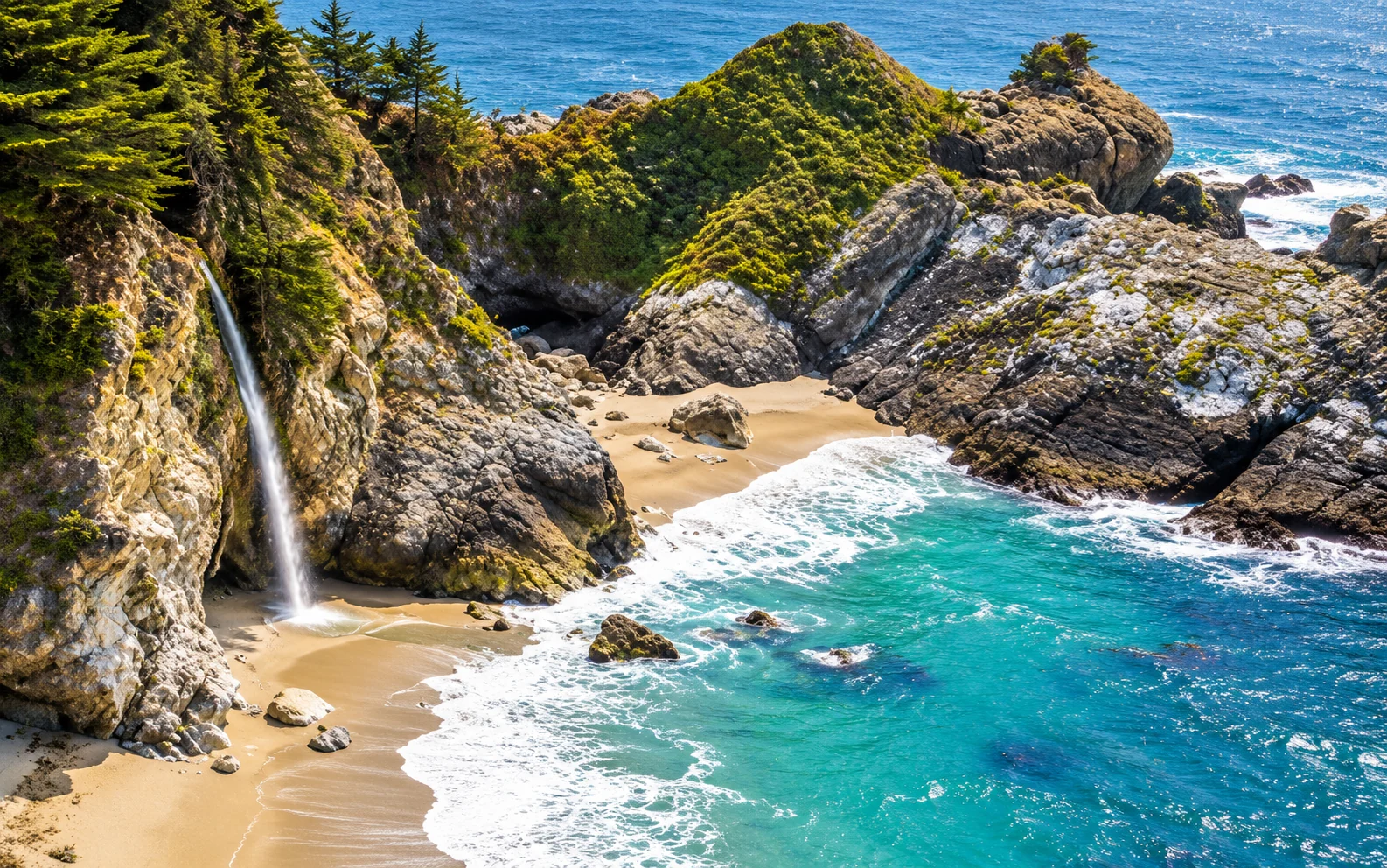
Big Sur isn't one attraction. It's a drive full of cliffside views, coastal cafés, wooded pockets, and short walks—when they are open. Leave room to stop where you feel like stopping rather than chasing an exact list of viewpoints.
McWay Falls: Check trail access before you go
McWay Falls, in Julia Pfeiffer Burns State Park, is a Big Sur icon. But as of September 24, 2026, the official park trail page still lists the Waterfall Overlook Trail as closed. Don't plan around walking the overlook without a new official opening notice. The beach below is off-limits as well.
If your preferred viewpoint is closed, enjoy another legal, open coastal stop. No photo is worth crossing a barrier or walking along an unstable cliff.
Want a short walk? Partington Cove Trail
At this article's last review, California State Parks listed Partington Cove Trail as open, at approximately 1 mile round trip. The trail descends toward a rocky coastal cove, passing a historic tunnel. Remember that the walk back climbs uphill, and keep off exposed rocks near the surf. Status can change during fire operations or severe weather.
What about Pfeiffer Beach and the redwoods?
Pfeiffer Beach is known for striking rock formations and patches of purple-tinted sand in some conditions—not a guarantee of a completely purple beach. Access is via a narrow road; verify that the entrance is open and suitable for your rental vehicle.
Pfeiffer Big Sur State Park is a different location, known for redwoods and the river valley. As of September 24, 2026, it remained closed due to the Timber Fire. Do not plan a hike inside the closed park.
06 | San Simeon & Cambria: A softer landing after the cliffs
If the road south is open, continue toward San Simeon and the Piedras Blancas Elephant Seal Rookery. Seeing enormous elephant seals napping across a beach never gets old. The usual public viewing area is free; what you see changes with the season. Stay on the designated boardwalk and give the animals their space.
If you love architecture or history, consider Hearst Castle. It's a guided-ticket attraction rather than a ten-minute drive-by; book ahead on popular dates.
Then settle into Cambria. It's a nice place to slow down, find dinner, and walk Moonstone Beach Boardwalk at the end of the day. State Parks lists the accessible boardwalk stretch at roughly 0.96 mile each way. Walk as much or as little as you like.
07 | Morro Bay → Santa Barbara → Malibu: Let the final day count
Morro Bay has an unmistakable landmark, Morro Rock, and a laid-back harbor. Grab breakfast, wander the waterfront, then continue through San Luis Obispo or make a beach stop in Pismo Beach.
Farther south, Santa Barbara is worth a few hours for its waterfront, food, and Mediterranean-style streetscape. Finish via Malibu and Los Angeles, or use this stretch as the beginning if you're driving north from Southern California.
No need to turn every beach town into a ten-minute photo mission. Pick the stops that sound like your kind of trip.
How many days do you need?
| Time | Suggested route | Best for |
|---|---|---|
| 2 days / 1 night: a northern highlights trip | Monterey / Carmel → Point Lobos → open northern Big Sur stops → back to Monterey | Seeing the classic coast without driving all the way to LA |
| 4 days / 3 nights: first-trip favorite | D1 SF → Santa Cruz → Monterey; D2 Carmel → Point Lobos → Big Sur; D3 Big Sur → San Simeon / Cambria → Morro Bay; D4 Santa Barbara → Malibu → LA | Main highlights at a reasonable pace, only if the coastal route is open |
| 5 days / 4 nights: the relaxed version | Add an extra night in Monterey/Carmel or Big Sur/Cambria | More time for walks, dinners, and stopping because a view looks good |
If Big Sur has a closure: Treat Monterey/Carmel/open northern Big Sur as one segment, then use US-101 to reconnect with San Luis Obispo and the southern coast. Check access to individual attractions, not just the overall route on your navigation app.
Where should you stay?
Monterey / Carmel: The easiest first-night base if you want the aquarium, restaurants, and coastal walks. Monterey offers variety; Carmel feels more like a quiet getaway.
Big Sur: Gorgeous if you want a night in the mountains and by the sea, but availability, rates, fire restrictions, and road access can all complicate the plan. Treat staying here as an option, not a requirement.
Cambria / Morro Bay: Good mid-route overnight choices. Cambria is cozy and quiet; Morro Bay is convenient for food and moving south.
Santa Barbara: A good extra night if you'd rather not make the last stretch into LA part of a long driving day.
A few Tesla-rental tips before you head out
Check the road before booking nonrefundable stays. Highway 1 can close for slides, construction, or wildfire operations. Start with Caltrans QuickMap and the official SR 1 conditions.
Plan charging in towns, not at remote ocean overlooks. Use Tesla's in-car navigation to confirm actual available charging stops and estimated arrival battery. Weather, elevation changes, and detours can change your range.
Bring offline maps, water, and a layer. Cell reception is spotty in parts of Big Sur, and the coastal wind doesn't check whether it's technically summer.
Use legal pullouts only. Never stop in a lane or block a driveway for a photo. Stay behind barriers and respect rental restrictions on unpaved roads and off-road driving.
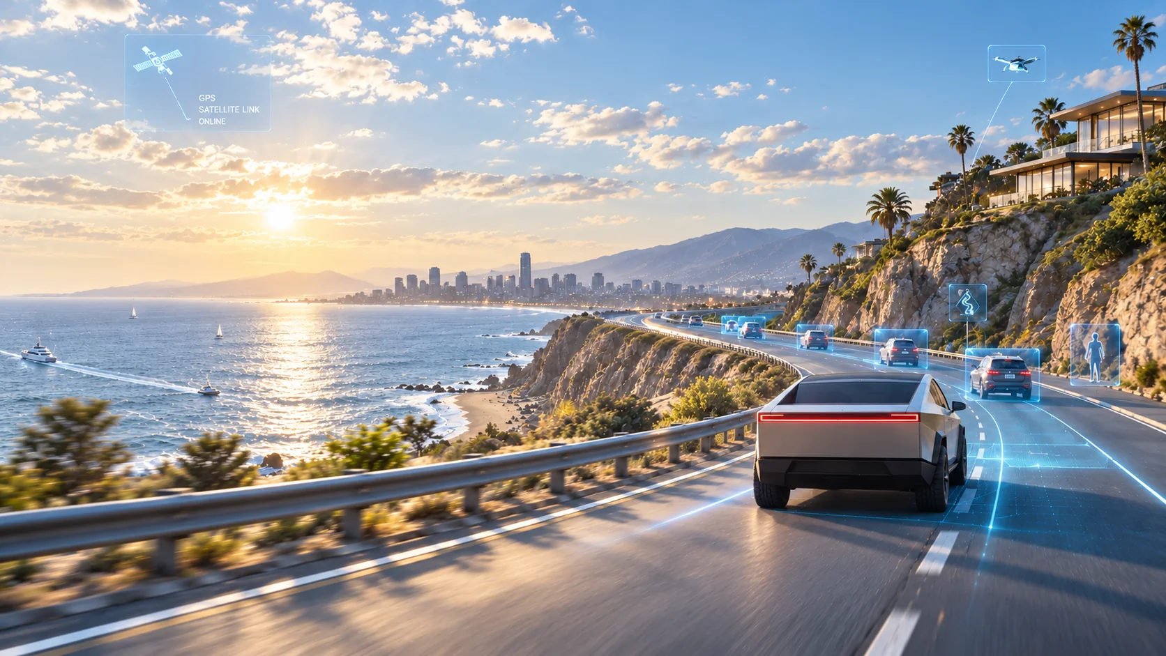
FSD (Supervised) is still supervised. Watch the road, stay ready to take over, and drive manually whenever conditions call for it. Let your passenger handle the pictures.
September 2026 access note — verify before publishing or traveling
Last checked: September 24, 2026. This is a dated note, not live traffic guidance. • CAL FIRE's September 14 update stated that Highway 1 had fully reopened after the Plaskett Fire-related road closure. Open road does not mean every park and trail is open. • Caltrans' September 24 SR 1 report still listed round-the-clock one-way traffic control at Rocky Creek Bridge, approximately 15.7 miles south of Monterey, due to construction. • The State Parks pages still showed Pfeiffer Big Sur State Park closed, Julia Pfeiffer Burns only partially open, backcountry trails east of Highway 1 closed, and the McWay Falls Waterfall Overlook Trail closed. Recheck Caltrans, California State Parks, and CAL FIRE on the day you travel. Reroute if there are fire warnings, evacuations, smoke advisories, or closures.
The best stop might be the one you didn't plan
Maybe it's a coffee shop in Cambria. Maybe it's a stretch of ocean you notice from a legal pullout. Maybe you decide to stay for another half hour instead of making it to your next pin by noon.
Plan your route. Leave the afternoon a little open.
More Life Between Destinations.
Official trip-planning references: Visit California — Highway 1 Guide · Caltrans — SR 1 Conditions · California State Parks — Monterey District · Point Lobos · Julia Pfeiffer Burns Trails · Pebble Beach 17-Mile Drive · Hearst Castle Tickets · CAL FIRE Plaskett Fire